Favelas 4D – a project from MIT’s Senseable City Lab – has created a 3D model of Brazil’s biggest favela, Rocinha in Rio de Janeiro.
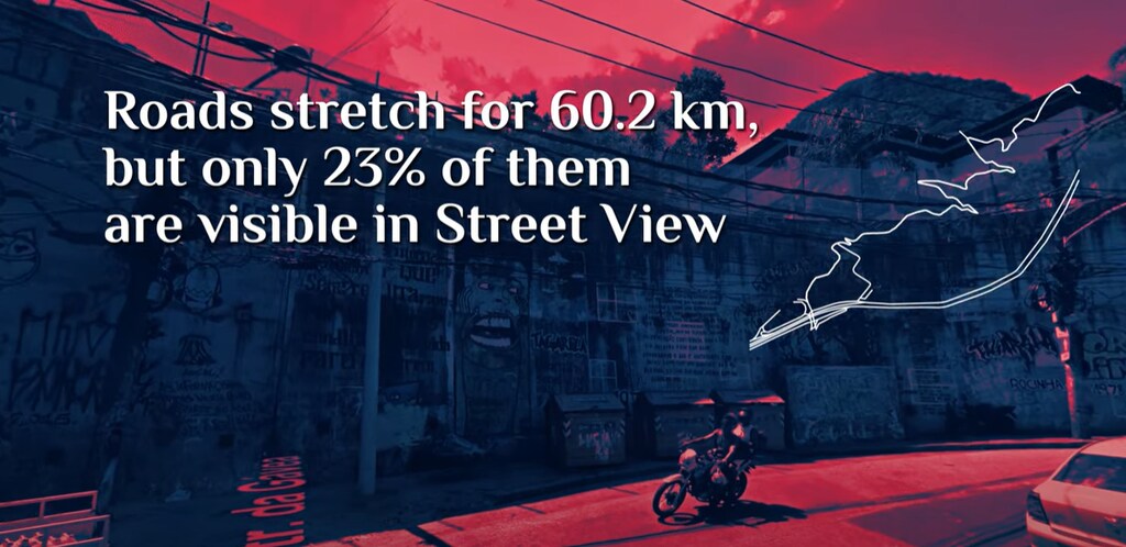
Traditional technology such as satellite mapping cannot map these unplanned settlements as they are typically too heavily packed with homes.
Almost 1 billion people live in informal settlements around the world.
Being unmapped makes these areas and their residents invisible and “devoid of urban rights”, the MIT researchers say.
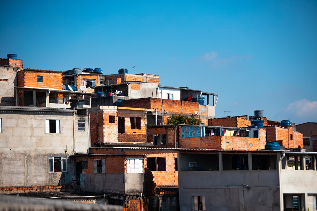
Brazil’s biggest favela – the local word for an unplanned and deprived settlement on the edge of a city – has been mapped using 3D technology.
Rocinha in Rio de Janeiro is one of many favelas to have grown up around cities in Brazil. Favelas are typically highly populated and too heavily packed with homes to be analyzed by traditional technology such as satellite mapping.
But researchers in Rocinha, which has around 100,000 residents, got around this problem by using handheld 3D scanners.
The researchers are from the MIT Senseable City Lab, a research group exploring cities and emerging technologies at Massachusetts Institute of Technology in the United States.
Favelas 4D
In a project called Favelas 4D, the scientists have created a virtual model of Rocinha using 3D laser scanning technology called LiDAR, which stands for Light Detection and Ranging.
LiDAR works by sending out pulses of infrared light and measuring how long it takes for these to bounce off objects. This creates a map of the surroundings in 3D points.
“Around 300,000 data points are generated every second,” says an article about the project in MIT Technology Review. Researchers navigated “narrow alleys and sloping hills” to capture the 1.5-square-kilometer neighbourhood, the authors said.
The project is led by Italian architect Carlo Ratti, who directs the MIT Senseable City Lab, in collaboration with Rio de Janeiro’s city planning commissioner, Washington Fajardo.
Improving favelas
The Favelas 4D team notes that almost 1 billion people live in informal settlements around the world. Not being able to map these communities makes them invisible – despite their huge size – and “devoid of urban rights”.
For example, such areas may not have access to formal aid, administration or economic opportunities. Favela residents also face unhealthy living conditions and have lower life expectancies, the MIT researchers say.
The researchers hope their map of Rocinha might lead to improvements, such as with access to public services like water and waste collection. Living conditions could be improved through urban design changes, like removing structures to let in more light or air.
Favela residents have already developed some clever building systems that could inform future urban design, Ratti tells online architecture and design magazine Dezeen.
Carlo Ratti is also a Top Innovator on UpLink – a digital platform launched by the World Economic Forum, Deloitte and Salesforce to crowdsource innovative solutions to the world’s biggest problems – and is co-chair of the Forum’s Global Future Council on Cities of Tomorrow. This is focused on ensuring that cities can “build back better” after the pandemic, so they’re liveable, sustainable, affordable and resilient to climate change.
What is the World Economic Forum doing to improve the future of cities?
The Centre for Urban Transformation connects city leaders, businesses and governments to make sense of the challenges and opportunities shaping urban futures.
Through peer learning and collaboration, the Centre enables cities to exchange insight and translate shared understanding into practical, resilient urban solutions.