Can planetary intelligence anchor a new global dialogue?
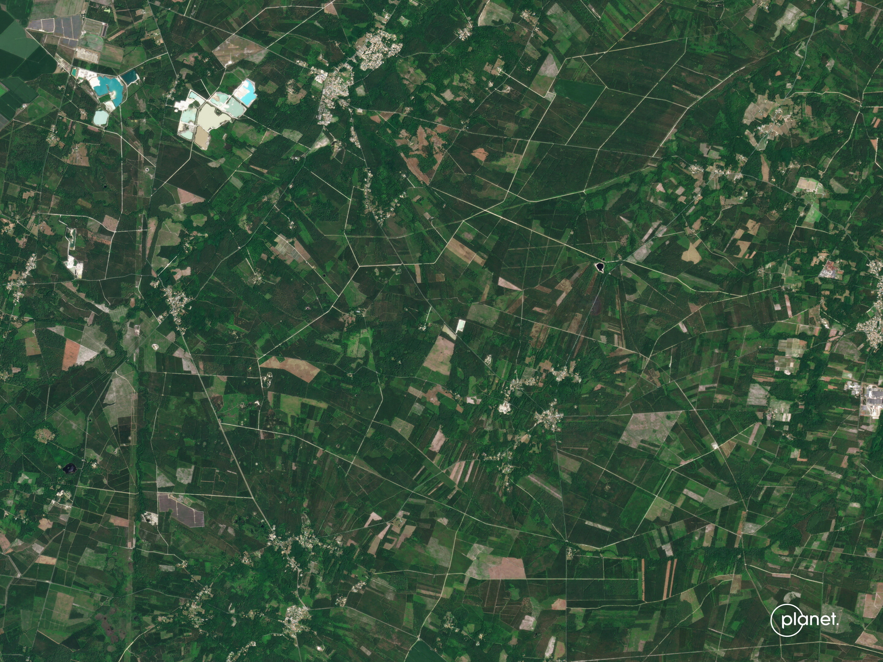
Today, the amount of Earth observation satellites orbiting the planet could offer us a shared planetary intelligence, if their data is harnessed correctly. Image: REUTERS
- Earth Observation is unlocking trillions of dollars in value – but it may be able to contribute something more than money.
- Today, we have the technology to build a shared index (or catalogue) of planteary data covering everything from solar panels to transport networks.
- Beyond money, that kind of shared planetary intelligence could act as a shared baseline from which to address common challenges.
We are living through the most data-rich period in human history. More than a thousand Earth observation (EO) satellites orbit the planet, collecting frequent global imagery and measurements across many wavelengths, both in the form of open data and commercial.
These satellites are delivering planetary intelligence: data on not just one part of the planet, but the Earth in its entirety. Now we must learn to use it.
Traditional approaches work well to detect deforestation in one region or map rooftops in one city. But scaling this from pilots to planetary scale is still extremely slow, expensive and talent-intensive.
A 2024 World Economic Forum report estimated that better use of EO could unlock about $3.8 trillion in additional cumulative economic value by 2030, up from an estimated $266 billion in 2023. Crucially, 94% of that value is in “downstream” applications like agriculture, energy, logistics and insurance – not in the space sector itself.
We already see the outlines of this opportunity. From agriculture and supply-chain transparency to climate-risk insurance and grid planning, everything depends on knowing where things are and how they are changing.
And yet, for most decision-makers this remains invisible. In my experience working with Fortune 100 companies, many lack the in-house geospatial staff to operationalize satellite data. We see EU institutions adopting new clean-air and anti-deforestation rules, but delaying parts of their implementation because reliable services at scale still don’t exist..
What we need is a way to scale usability of our data without increasing the skills needed. For example, we all depend on apps that use GPS technology for driving directions, but most people are not even aware of what a GPS, is or how it works. Knowing where deforestation is happening should not require a doctorate. This kind of knowledge should be part of our shared planetary intelligence – and it can be, with a little help from AI.
What is planetary intelligence?
When people hear “AI for Earth,” they picture chatbots, autonomous tractors or “digital twins.” Those may come, but the real shift is quieter and more foundational; modern AI learns by recognising abstract patterns and using them. For example, chat bots that combine disparate learned concepts like your style of writing, and languages to translate not just your words but also your tone. The same idea that enables language models to learn patterns can help us organise the planet, as models like Lgnd/Clay, Google AlphaEarth or Tessera learn the signatures of crops, grids, forests, coasts and cities directly from imagery and sensor data. We can then literally build an Earth catalog, or index. Planetary patterns become searchable – we can ask questions about change, risk or infrastructure in the same way we search the web, without recomputing everything from raw images each time. This kind of resource is now more critical than ever.
AI for Earth could offer a shared understanding for a global dialogue.
A planetary anchor against competing realities
In a fragmented world, it is tempting for countries and companies to build completely isolated intelligence processes. But we share our planet, and we share access to planetary scale data.
Cooperation and dialogue work. Shared inventories of emissions, deforestation or air pollution give negotiators a common baseline to drive real progress, even when interests diverge. Basic shared understandings of our planet will facilitate dialogue, especially on contested issues.
The goal is not more dashboards, more complexity or more noise. The goal is better, simpler, trusted answers with the right context at the moment of decision, so that ministries, companies and communities can act without needing specialized teams to interpret every pixel or model.
Planetary awareness will create that clarity. But it only works if we treat certain baselines as public goods: air quality, land-use change, emissions, flood and fire risk, and the physical exposures that shape economies and security. In Davos this year, one of the most practical acts of global leadership might be to anchor the dialogue with, “What does the planet say?”
Rooftop solar panels could be spreading faster than anybody predicted. Vegetation may be creeping toward power lines ahead of fire season. Satellites are capturing live evidence of these trends, invisible at the ground level, every day. And having that information means we can act on it.
Planetary intelligence for shared understanding
We now live on the most measured planet in our history, yet we still struggle to agree on, or or even know, what is happening. While we argue about food-system resilience, unchecked urban sprawl, impact on war-torn regions or current effects of climate change, the data on all of this exists – from satellites in space – but most of us are either unaware or unable to sufficiently cope with related complexity to understand it.
Yet, that can change.
The 2026 Annual Meeting in Davos will be built around a “Spirit of Dialogue.” Having that dialogue will be far easier if we start by acknowledging that cooperation, growth, innovation and sticking within planetary boundaries all depend on a clearer picture of what is physically happening on our planet, from crops to grids and coastlines to cities. The right approach to shared planetary data could deliver that.
Don't miss any update on this topic
Create a free account and access your personalized content collection with our latest publications and analyses.
License and Republishing
World Economic Forum articles may be republished in accordance with the Creative Commons Attribution-NonCommercial-NoDerivatives 4.0 International Public License, and in accordance with our Terms of Use.
The views expressed in this article are those of the author alone and not the World Economic Forum.
Stay up to date:
Earth Observation

Forum Stories newsletter
Bringing you weekly curated insights and analysis on the global issues that matter.
More on Global CooperationSee all

Alireza Haghighi and Khalid Alaamer
February 24, 2026


