India is using hundreds of drones to map the country in incredible detail

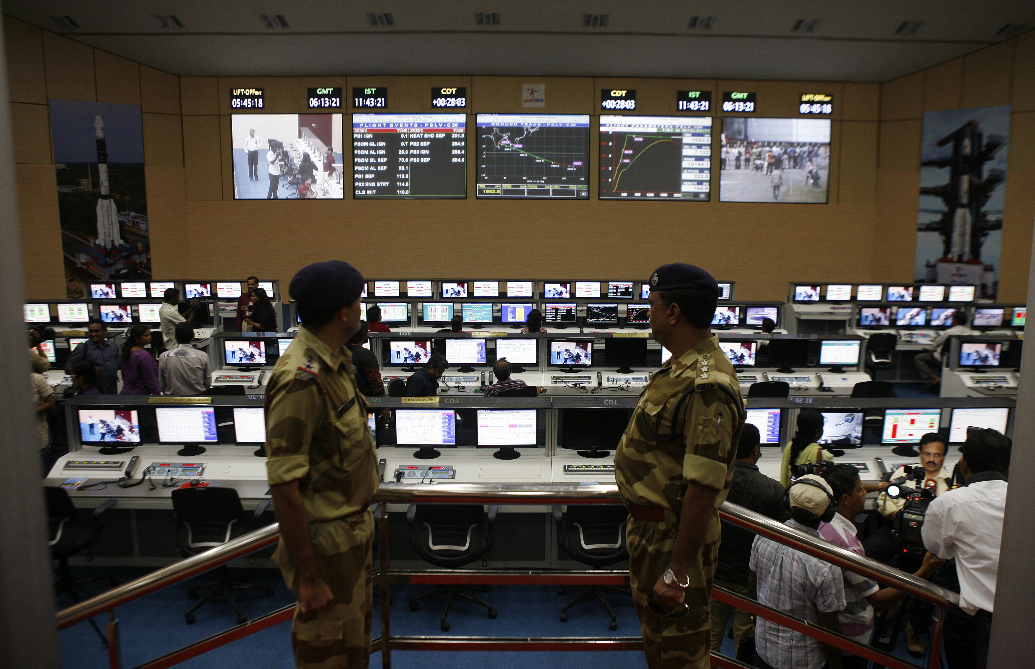
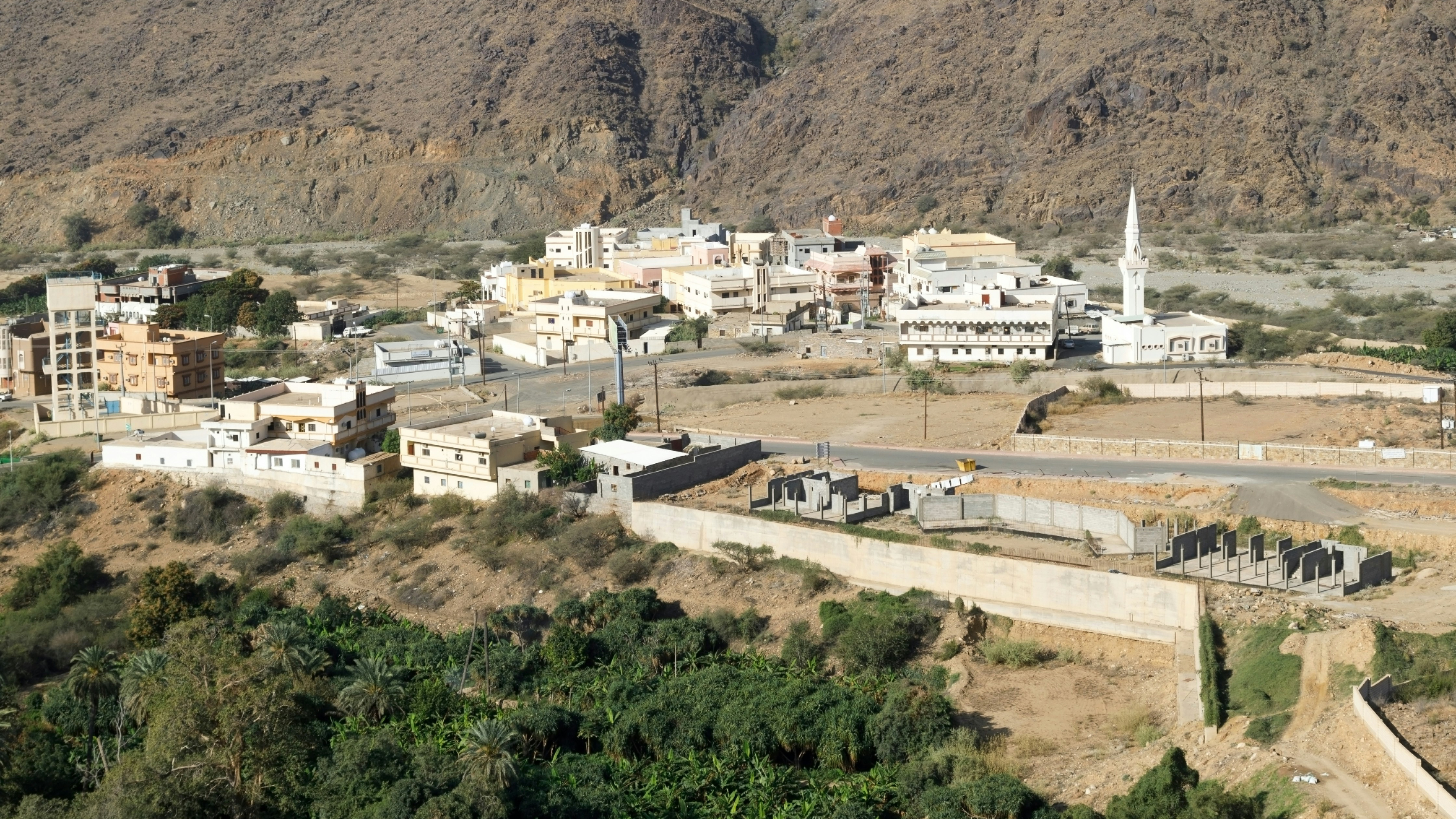
Using a fleet of drones, India plans to map 75% of the country by 2021. Image: REUTERS/Henry Nicholls
How do you map one of the largest countries in the world? One drone at a time, perhaps. That’s exactly what the Indian government is doing, with the Survey of India (SoI) using a fleet of drones to map the country in incredible detail.
One of the first areas being surveyed is the Ganges river basin, which is being mapped with an accuracy of 10 cm, according to Professor Ashutosh Sharma of India’s Department of Science & Technology.
“The basis for everything”
A fleet of 300 drones is being gathered to capture aerial footage, which will be combined with other data sources and then converted into highly detailed maps using artificial intelligence.
“Even today we don't have a digital map of India of sufficient accuracy,” Professor Sharma told the Times of India. “But this is [going to be] the basis for everything... whether we have to lay down train tracks, lay a road, put up a hospital ... or any kind of development and planning.”
What is the World Economic Forum doing about drones?
The new maps will have a scale of 1:500, meaning 1 cm will represent 5 metres on the ground. Mapping remote towns and villages in this detail will give local authorities accurate data relating to land ownership. In some cases, it is believed this will enable citizens to have verified land-ownership claims leading to the issuance of property titles for the first time.
Between now and 2021, the Indian project – which also brings together data from multiple sources – will map 75% of the country. The initial focus areas will be those that are populated – regions that are mostly forest or desert, for example, may be excluded from the exercise.
Transformative effect
Highly detailed and digital maps can help countries and communities around the world to pinpoint problems, find solutions and protect their future.
They can provide crucial information to aid groups in disaster zones, such as during the rescue effort in the aftermath of the huge earthquake that hit Nepal in 2015; help to protect the world’s forests and determine who’s responsible for areas of land to tackle illegal mining, logging and forest fires; and could even be used to help predict and prevent floods.
What is the World Economic Forum's India Economic Summit 2019?
The United Nations Development Programme has said it will use digital technologies to transform the way it tackles issues such as poverty and climate change.
It is also using drones to create 3D maps of the Maldives – a country extremely vulnerable to the risks of climate change.
Don't miss any update on this topic
Create a free account and access your personalized content collection with our latest publications and analyses.
License and Republishing
World Economic Forum articles may be republished in accordance with the Creative Commons Attribution-NonCommercial-NoDerivatives 4.0 International Public License, and in accordance with our Terms of Use.
The views expressed in this article are those of the author alone and not the World Economic Forum.
Stay up to date:
Drones
Related topics:
Forum Stories newsletter
Bringing you weekly curated insights and analysis on the global issues that matter.
More on InnovationSee all
Awais Ahmed and Srishti Bajpai
November 11, 2025


