NASA's Landsat 9 shows how the world's surface is changing. Here are the photos
The latest images taken by Landsat 9, launched by NASA, add to 50 years of space-based Earth observation.
Image: UNSPLASH/ActionVance
Michelle Cheng
Reporter, QuartzStay up to date:
Space
- Landsat 9, an Earth observation satellite launched by NASA, has released the first photographs of Earth.
- The satellite measures temperature across the Earth’s surface; insights which are useful amid the changing climate.
- For example, the images of Navajo Nation in the western US will help with monitoring drought conditions and water management.
- USGS will operate Landsat 9 alongside Landsat 8 in future, which will collect about 1,500 images of Earth’s surface every day.
The latest photos from space provide unparalleled views of how world’s surface is changing.
Landsat 9, an Earth observation satellite that NASA launched Sept. 7, released the first photos of planet Earth captured on Oct. 31, NASA and the US Geological Survey (USGS) announced Friday (Nov. 5).
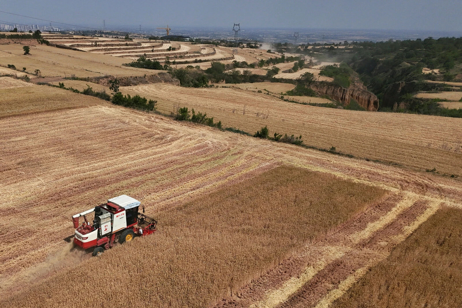
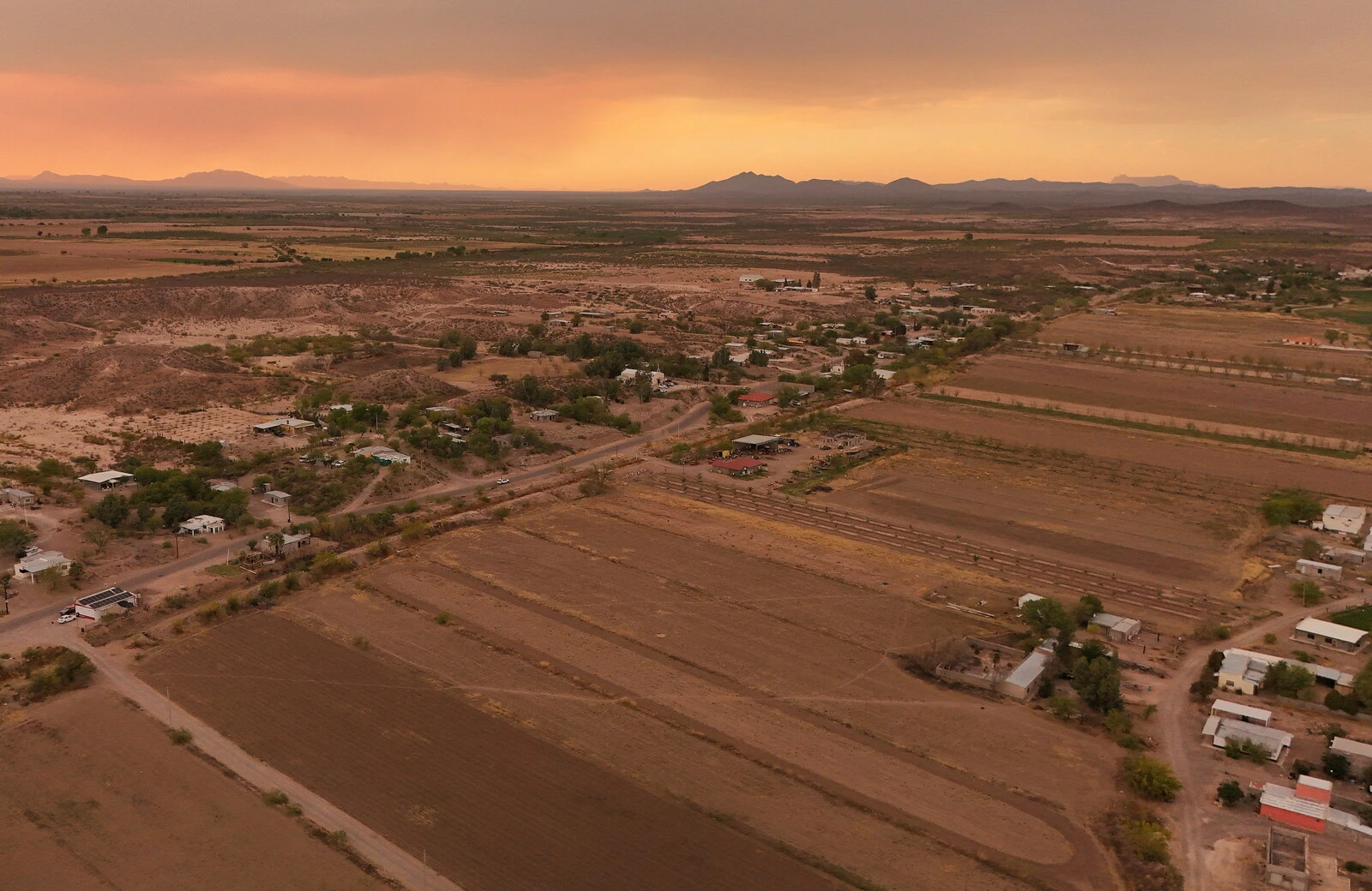
The nine photos, available for perusing online, capture Detroit with neighboring Lake St. Clair, the intersection of cities and beaches along a changing Florida coastline, Navajo Country in Arizona, the Himalayas, and the shorelines of Northern Australia.
The images are a small glimpse into the kind of data the satellite is collecting. The satellite detects visible, near-infrared light and thermal infrared data, the latter which measure Earth’s surface temperature and its changes. The improvements to Landsat 9 allows it to better detect subtle differences, including within densely-covered areas such as forests.
What’s the World Economic Forum doing about climate change?
Amid a changing climate, the data collected provide scientists, city planners, farmers, and other stakeholders with information about crop health, irrigation use, water quality, wildfire severity, deforestation, glacial retreat, urban expansion, and more that can help them make better-informed choices for the future.
For instance, the images of Navajo Nation in the western US will aid with monitoring drought conditions and managing irrigation water. With only 85 rain gauges to cover more than 27,000 square miles, data there has been woefully incomplete; satellite imagery and climate models fill the gaps to help Navajo Nation monitor the drought severity, as NASA/USGS noted. In the Great Lakes, Landsat 9 captures swirls of green algae to help scientists and resource managers identify algal blooms early and select areas to test further.
The latest images add to 50 years of space-based Earth observation. Since 1972, a partnership between NASA and the US Geological Survey, a bureau within the US Department of the Interior that studies the landscape of the US, has continuously had satellites in orbit taking pictures of Earth. These images have shown cities expanding into deserts or the changing colors depicting changing crops (the latter has helped the US Department of Agriculture track crops over time).
In the future, USGS will operate Landsat 9 alongside Landsat 8, which will collect about 1,500 images of Earth’s surface every day, covering the globe every eight days.


Accept our marketing cookies to access this content.
These cookies are currently disabled in your browser.
Don't miss any update on this topic
Create a free account and access your personalized content collection with our latest publications and analyses.
License and Republishing
World Economic Forum articles may be republished in accordance with the Creative Commons Attribution-NonCommercial-NoDerivatives 4.0 International Public License, and in accordance with our Terms of Use.
The views expressed in this article are those of the author alone and not the World Economic Forum.
Forum Stories newsletter
Bringing you weekly curated insights and analysis on the global issues that matter.
More on Climate ActionSee all

Sebastian Buckup and Beth Bovis
July 10, 2025

Majlinda Bregu
July 9, 2025


Tom Crowfoot
July 8, 2025
Duncan Wood
July 8, 2025

Sam Markey, Basmah AlBuhairan, Muhammad Al-Humayed and Anu Devi
July 8, 2025