Warmer, drier spring to bring worsening drought to US, NOAA report predicts

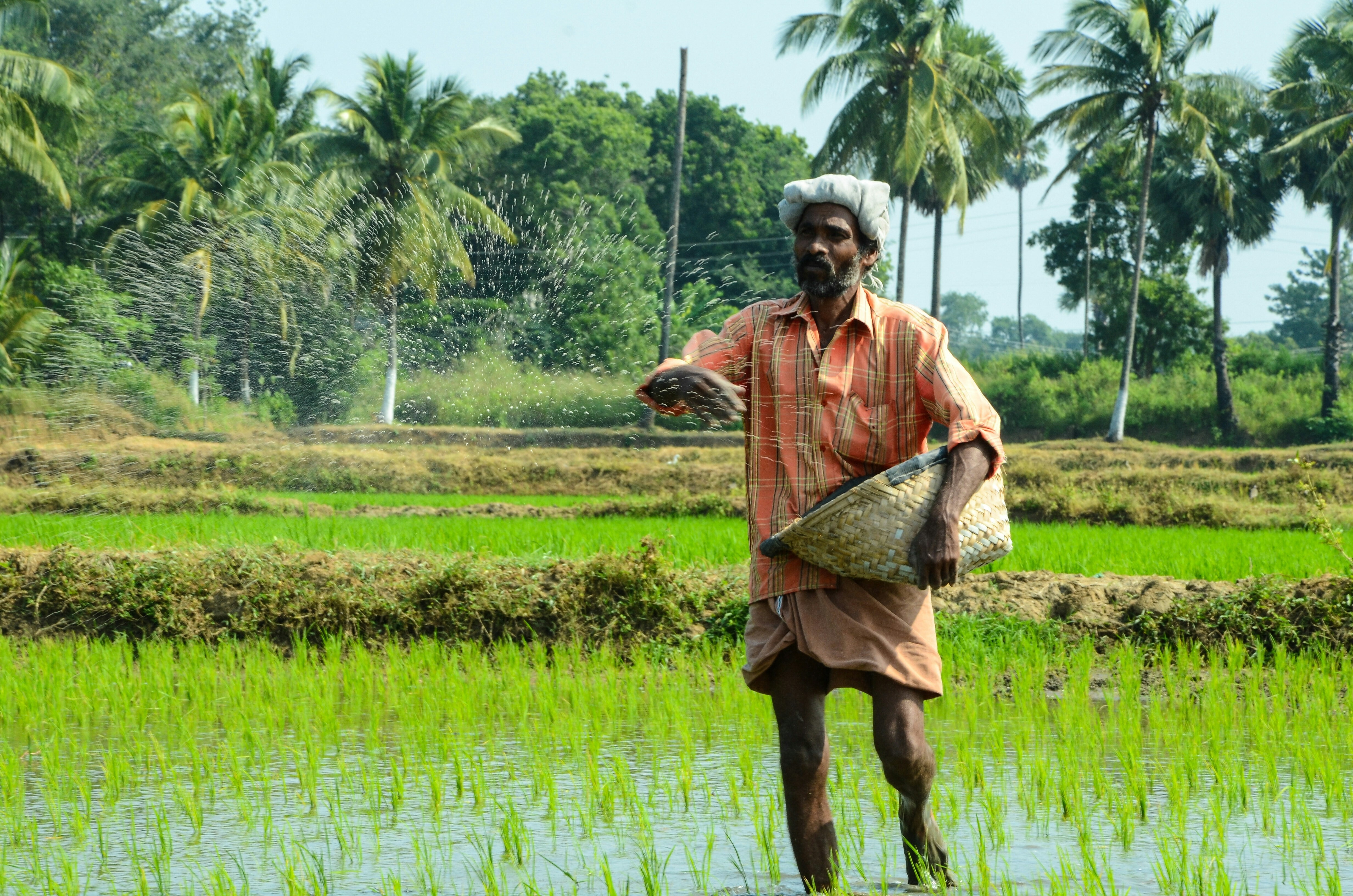
Southwestern US is experiencing the driest conditions for at least 1,200 years. Image: UNSPLASH/Dan Gold
Cristen Hemingway Jaynes
Environmental Journalist, EcoWatch- The Spring Outlook by the National Oceanic and Atmospheric Administration (NOAA) has predicted that drought will continue to worsen in Western US.
- 60% of the United States is experiencing notable drought conditions due to climate change, which will put a strain on water supplies and increase the risk of wildfires.
- NOAA has also predicted increased flood risks for parts of the US, particularly close to the red river.
The Southwestern U.S. has been experiencing a severe megadrought since 2000, and last month scientists said it’s the driest it’s been in at least 1,200 years, mostly due to climate change, The New York Times reported at the time.
Scientists from the National Oceanic and Atmospheric Administration (NOAA) have issued their Spring Outlook for the U.S., which predicts that drought will continue in the West with below-average precipitation. Some Western states experiencing drought had seen some relief during the winter, reported The New York Times.
More than half of the lower 48 States are likely to continue to experience drought conditions at least through June. NOAA said the conditions will continue to put a strain on water supplies and increase wildfire risk. The agency expects conditions to get worse and spread due to below-average precipitation amounts and higher-than-average temperatures.
Almost 60 percent of the U.S. is already experiencing “minor to exceptional” drought conditions — the largest area since 2013, said the operational prediction chief at NOAA’s Climate Prediction Center Jon Gottschalck, as The Associated Press reported.
“Drought has increased, especially in the West as it has warmed,” said Deke Arndt, chief of NOAA’s Climate and Science & Services Division, as reported by The Associated Press. “The reason the West is warming is climate change, especially over the multiple decade timeframe.”
Likely worsening conditions in many of the areas already experiencing drought could lead to additional heatwaves, Gottschalck said.
California is predicted to again see “severe” or “extreme” drought, according to the U.S. Drought Monitor.
“The snowpack is below average for much of California, and there’s really very little time now to make up any precipitation deficits,” said the Climate Prediction Center’s operational drought lead Brad Pugh, as reported by The New York Times.
The few parts of Arizona, Texas and Kansas not already in the midst of drought conditions were expected to start experiencing them, according to Gottschalck.
The only place that is expected to get more precipitation than average is an area encompassing the Great Lakes reaching down to Kentucky, The Associated Press reported.
When the snow melts in the Western U.S. this spring it is unlikely to result in flooding, according to the NOAA report. Flood risk varies in other parts of the country.
“There is a minor-to-moderate flood risk throughout much of the eastern half of continental U.S., including the Southeast, Tennessee Valley, lower Mississippi Valley, Ohio Valley, and portions of the Great Lakes, upper Mississippi Valley, and middle Mississippi Valley,” the NOAA report stated.
NOAA predicted an increased flood risk close to the Red River, which divides Minnesota from North Dakota, due to precipitation that is expected to be above normal, as well as other factors, The Associated Press reported.
Factors like drought, snowpack, levels of soil saturation, precipitation and other factors are examined in NOAA’s National Hydrologic Assessment, said the NOAA report.
“Due to late fall and winter precipitation, which saturated soils and increased streamflows, major flood risk potential is expected for the Red River of the North in North Dakota and moderate flood potential for the James River in South Dakota,” said the director of NOAA’s National Water Center Ed Clark, according to the NOAA report.
What’s the World Economic Forum doing about climate change?
Don't miss any update on this topic
Create a free account and access your personalized content collection with our latest publications and analyses.
License and Republishing
World Economic Forum articles may be republished in accordance with the Creative Commons Attribution-NonCommercial-NoDerivatives 4.0 International Public License, and in accordance with our Terms of Use.
The views expressed in this article are those of the author alone and not the World Economic Forum.
Stay up to date:
Climate Indicators
Forum Stories newsletter
Bringing you weekly curated insights and analysis on the global issues that matter.
More on Climate Action and Waste Reduction See all
Planet in focus: The technologies helping restore balance – and other news to watch in frontier tech
Jeremy Jurgens
November 13, 2025


